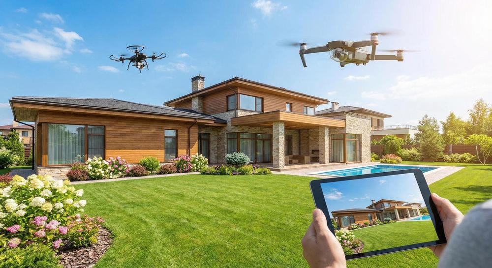
Quick Answer
Drone photography is worth it when a listing has features you can’t show from the ground—large lots, waterfront access, scenic surroundings, or a unique location. Aerial shots give buyers a bird’s-eye view that helps them understand the full picture. Not every listing needs it, but the ones that do benefit a lot.
When Drone Photography Makes Sense
Not every listing needs a drone. But some listings need one badly.
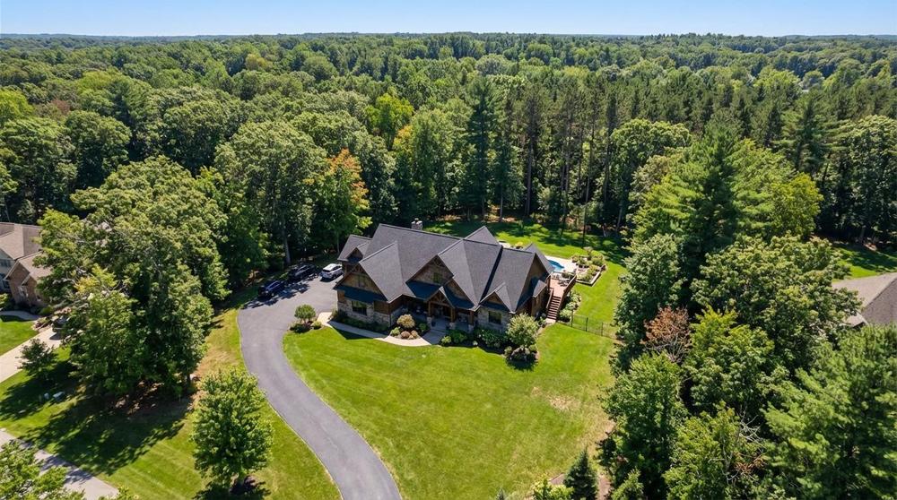
Large Lots and Acreage
If the property sits on more than half an acre, ground-level photos can’t show the whole picture. A drone shot shows the full lot, the boundary lines, and how the home sits on the land. Buyers want to see what they’re getting.
Waterfront and Lake Properties
Water sells. A drone shot of a home next to a lake, river, or pond is one of the most eye-catching listing photos you can have. Ground-level photos just can’t capture the relationship between the home and the water.
Rural and Country Properties
In rural areas like Northeast Pennsylvania, homes often sit on large parcels with barns, outbuildings, or wooded land. Aerial photos show all of it in one frame. They also help buyers understand the driveway, access roads, and neighboring properties.
Unique Surroundings
Homes near parks, golf courses, mountain views, or downtown areas benefit from aerial context. A drone can show proximity to amenities that a ground-level photo misses entirely.
When You Can Skip the Drone
Drones aren’t always needed. Here’s when you can probably pass.
Small Urban Lots
If the home is on a standard city lot with neighbors ten feet away, a drone shot mostly shows rooftops. It won’t add much value to the listing.
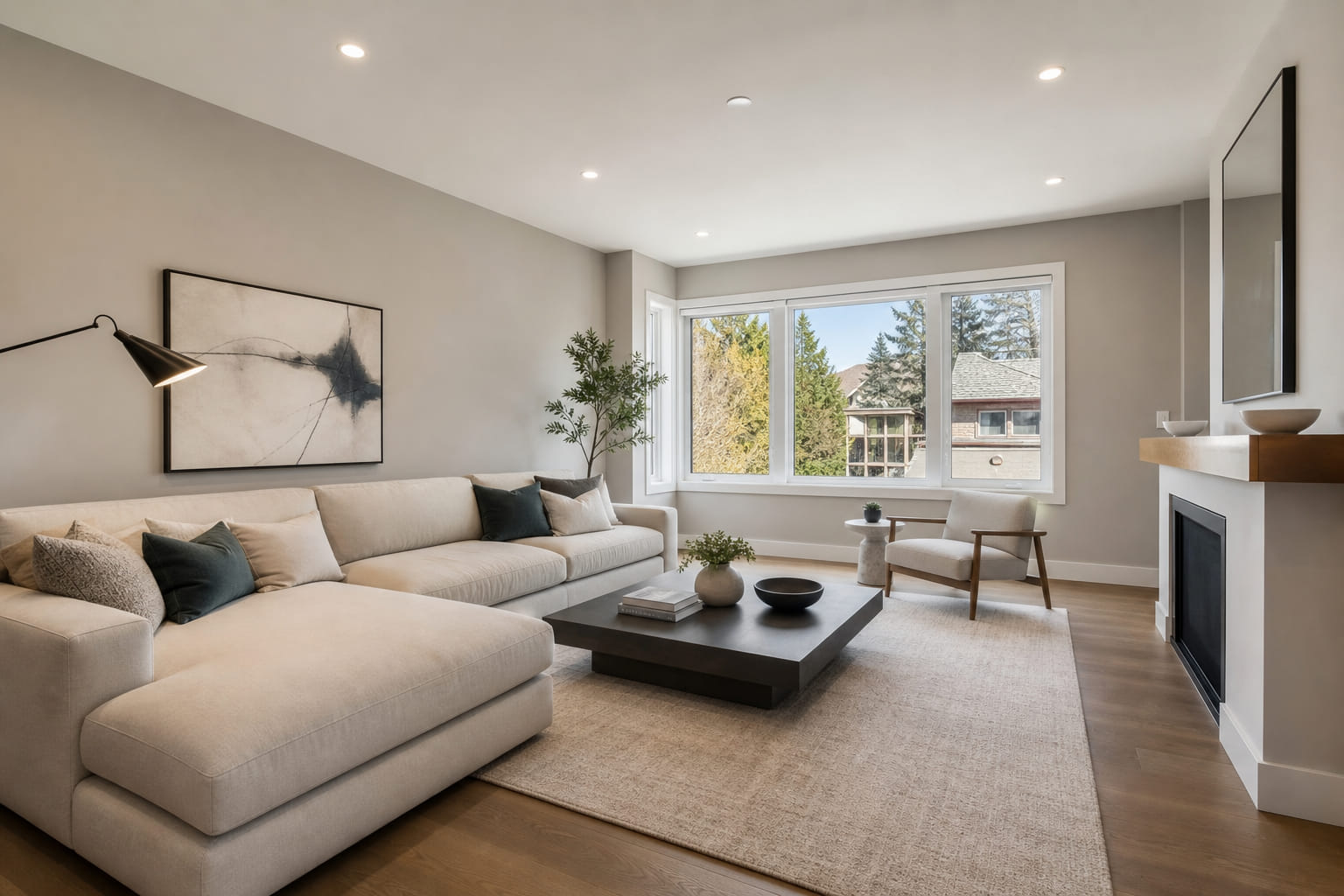
Interior-Focused Listings
Some homes sell on their interiors: updated kitchens, open floor plans, or luxury finishes. If the exterior and lot aren’t selling points, invest in great interior photos instead.
Bad Weather Days
Overcast, rainy, or windy days make for poor aerial photos. It’s better to reschedule than push through with a gray sky and blurry shots.
What to Expect From a Drone Shoot
If you’ve never booked drone photography, here’s how it works.
The Pilot Needs a License
Commercial drone operators must have an FAA Part 107 Remote Pilot Certificate. This is a legal requirement. Always ask your photographer if they’re certified. Learn more about Part 107 requirements here.
It Takes About 15–30 Minutes
A typical drone session at a residential property takes 15 to 30 minutes. The pilot flies several passes at different heights and angles to capture the best shots.
You’ll Get 5–15 Edited Photos
Most drone packages include 5 to 15 edited aerial photos. Some photographers also offer drone video flyovers, which are great for social media and virtual tours.
Weather and Airspace Matter
Drones can’t fly in heavy wind, rain, or fog. They also can’t fly in restricted airspace (near airports or military bases) without special permission. Your photographer will handle these details.
Drone Photos vs. Drone Video
Both are useful. Here’s the difference.
Drone Photos
Still aerial images. Best for MLS listings, print materials, and showing the property layout. Clean, simple, and effective.
Drone Video
Moving aerial footage. Best for social media, listing videos, and high-end marketing. A smooth flyover gives buyers a cinematic first impression. It’s especially popular for luxury listings and properties with acreage.
How Drone Photography Helps Sell Homes
Aerial shots aren’t just pretty. They serve a real purpose.
They Show Context
Buyers can see the neighborhood, nearby roads, and surrounding land. This answers questions before they’re asked.
They Build Excitement
A stunning aerial shot stops the scroll. It makes buyers click on the listing instead of passing it by.
They Set Your Listing Apart
Most listings don’t include drone photos. The ones that do stand out immediately. In a competitive market, that edge matters.
Frequently Asked Questions
How much does drone photography cost for a real estate listing?
Prices vary, but most drone packages run between $100 and $300 for residential properties. Some photographers bundle drone shots with their standard photo package at a discount.
Does every listing need drone photography?
No. Drone photos work best for properties with large lots, waterfront access, scenic views, or unique surroundings. Smaller homes on standard lots may not benefit as much.
Is it legal to fly a drone over someone’s property for photos?
Yes, as long as the pilot has an FAA Part 107 license and follows all airspace rules. The pilot must keep the drone in visual line of sight and under 400 feet altitude.
Bottom Line
Drone photography gives buyers a view they can’t get any other way. If your listing has acreage, water, scenic views, or unique surroundings, aerial shots are worth every penny. They help listings stand out, generate more interest, and give buyers the full picture before they ever visit in person.